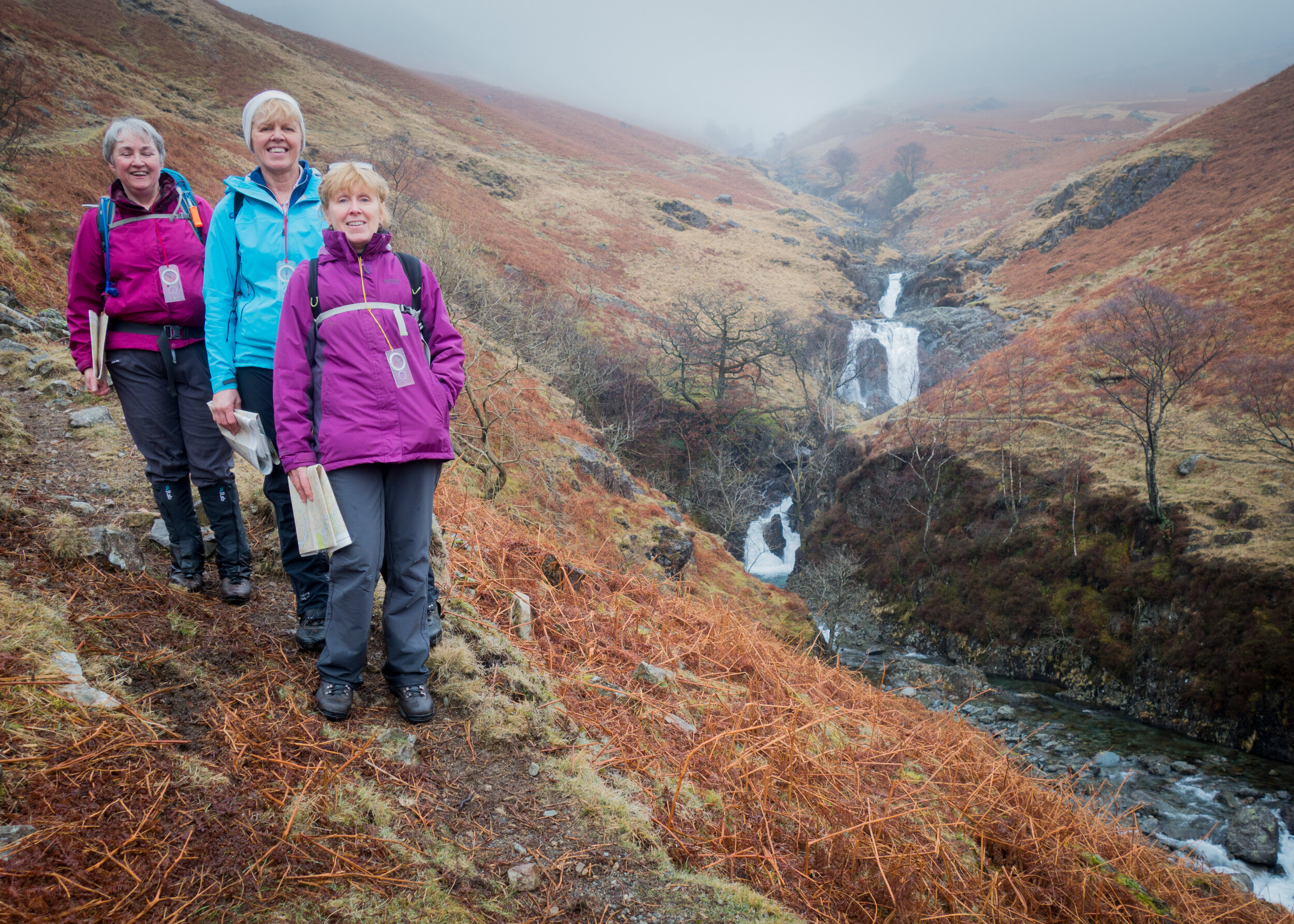
3 Ways to increase your map reading ability…
Are you keen to become a good map-reader but don’t seem to be getting anywhere? Maybe you’ve just begun or have been at it for a while? It’s not unusual to get stuck in a rut, where although you know the techniques you feel you could be better. Well here are three tips to improve your mountain navigation skills, meaning you can get out walking independently.
Take a map on a ‘normal’ walk
Don’t just leave map-reading until you’re out in the hills walking with a group. Whether you’re walking the dog in the woods or just heading to the shops, take a map with you. It doesn’t have to be an OS map, any street map or online mapping print-out will do. Then try and follow your progress as you go.
Seeing familiar terrain in the unfamiliar layout of the map can help you understand how the map works without worrying about getting lost. You’ll also notice more readily what features it includes or omits. Try following new routes to the same place. Just make sure it’s a printed map rather than a phone or GPS so you can practice ‘orientating’ it to your surroundings.
Get used to reading contours
There’s no escaping it – contour lines are the most reliable feature of map reading. Why? Because nearly all other features can change. Fences can be taken down, forests felled, even streams can dry up or be covered with snow. But contours, those lines linking points of equal height, and so indicating altitude, pretty much always stay the same unless there’s been a landslide.
One of the hardest skills to learn is to look at a series of contours on the map and then to ‘know’ what it’ll look like in real life. The best antidote to any confusion about this is practice. Find somewhere near where you live that has changing gradient – either a hill or a valley. Then go and walk over it with the map, noting changes in gradient and relating the real world to the map.
Time yourself for sections of a walk
A real challenge during map-reading comes down to appreciating scale – how far apart the things on the map are in real life. Getting your ‘eye-in’ can take a while, not something you want to sit around worrying about when you’re walking in the hills. The best way to get used to how far things are on the map is to time how long it takes you to get between points. Understanding that two things are, say, 30 minutes apart, will help you appreciate the scale of the whole map.
You can then use this information to determine your speed, and can then finally work out how long it’ll take you to cover certain distances in advance. And understanding scale will give you confidence with reading contours, and then you’re well on your way!


